A SAFE GUIDE TO TRACKING AND TRAINING YOUR DOGS
Regardless of where your business takes you and your dogs, you'll need to establish and maintain a strong connection with them, so you always have a clear picture of what's going on around you.

TRACK AND TRAIN YOUR DOGS IN THE FIELD

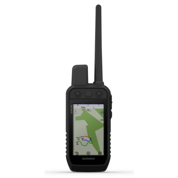
OPERATES ON A LARGE 3.5" COLOR TOUCHSCREEN

6 EASY-TO-USE BUTTONS FOR THE FASTEST CONTROLS

CHANNEL VIEWING TO PREVENT ANY INTERFERENCE

A BATTERY THAT OFFERS YOU UP TO 55 HOURS OF AUTONOMY.

GET YOUR ORIENTATION WITH DOWNLOADABLE TOPOACTIVE MAPS AND SATELLITE IMAGERY.
WHAT YOU WILL LIKE
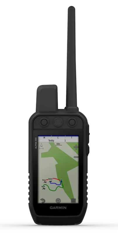
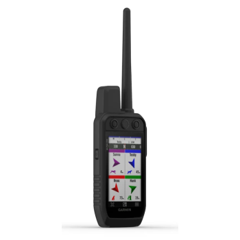
CHECK YOUR DOGS
Track up to 20 dogs with compatible radio collars (up to 10 km away) on your PDA's large color touchscreen.
TRAIN YOUR DOGS
Use the dedicated buttons to send your dogs one of 18 levels of momentary or continuous correction, as well as tones and vibrations.
EVERYTHING AT YOUR FINGERTIPS
The 3.5" sunlight-readable capacitive touchscreen makes it easy to view maps, dog information, and more. It's also easy to use while wearing gloves.
CHANNEL VIEWING
Discover the presence of other radio collars in the area and easily select the least congested channels to avoid interference.
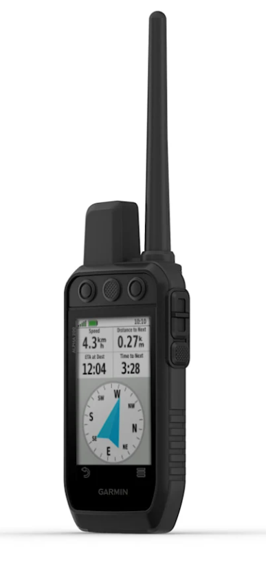
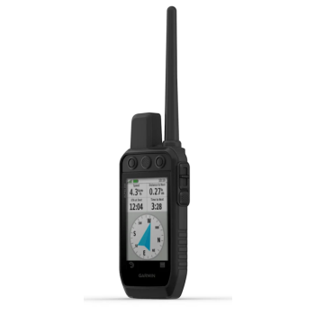
HUNTING METRICS
View key hunting metrics, such as distance, speed, and elapsed time, right on your dog information screen.
SATELLITE IMAGERY
Download satellite images via Wi-Fi® technology to your device and see terrain features from above, to help you orient yourself or identify ideal wildlife habitat.
GET MORE
TRACKING
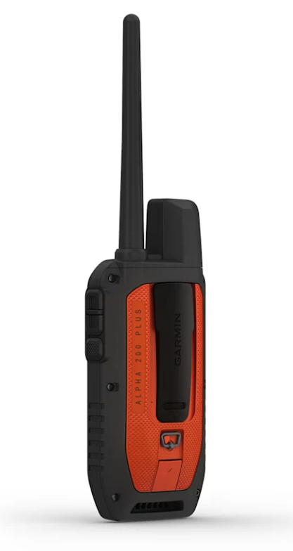
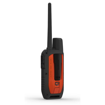
INCREDIBLE AUTONOMY
A battery, replaceable by the user even in the field, which guarantees a life of up to 55 hours.
 GROUP MANAGEMENT
Save time at the start of each hunt by creating dog packs and hunting teams.
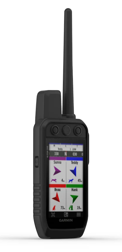
 WATCH YOUR DOGS
See when a dog is in the chase or on point phase.
 APP ALPHA
Pair your device with the App Alpha app for new features
 COMPATIBLE WITH PREVIOUS VERSIONS
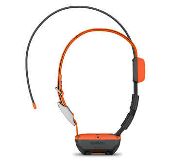
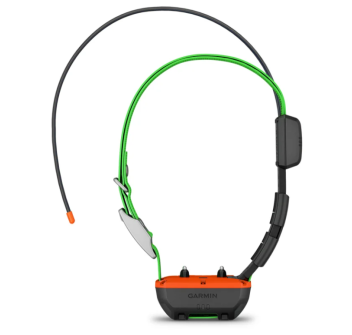
Also pair the handheld with the K and KT series radio collars.
 LIST OF DOGS
Save up to 250 dogs in memory, so you don't have to repeat the pairing process every time you go out with a different team.
NAVIGATION
 MULTI-GNSS SUPPORT
Access multiple satellite systems to improve positioning in the most challenging environments.
 COMPASS PRO VIEW
A single screen to know the direction and distance of the dogs at a glance.
TOPOACTIVE MAPS
Get detailed views of terrain contours, topographic elevations, summits, parks, and many other features.
 PREMIUM MAPS
Subscribe to Outdoor Maps+ for full access to our premium content.
 Altimeter
A barometric altimeter that helps you accurately monitor changes in altitude.
 3-AXIS COMPASS
A 3-axis electronic compass with tilt compensation, usable both while moving and while stationary.