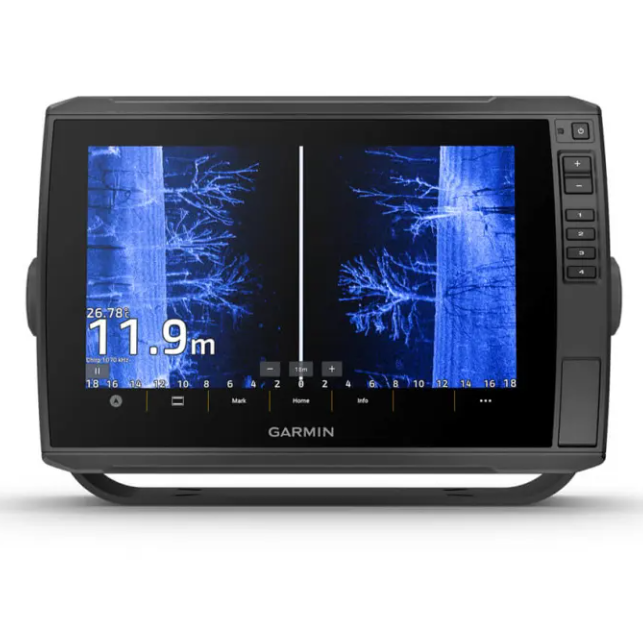
Garmin ECHOMAP Ultra 2 102SV
With large, clear, sunlight-readable touchscreen displays, these versatile chartplotters put a wealth of fish-finding capabilities at your fingertips. They support Garmin Navionics+ ™ and Garmin Navionics Vision+ ™ cartography, and the transducer package adds traditional CHIRP sonar and ultra-high-definition scanning sonar.
10″ OR 12″ TOUCHSCREEN SCREENS
SUPPORTS LIVESCOPE ™ 1 SOUNDER AND MORE
SUPPORTS GARMIN NAVIONICS+ ™ AND GARMIN NAVIONICS VISION+ ™ MAPPING
WIRELESSLY SHARE FISHFINDER, WAYPOINTS AND ROUTES 2
CAPTURE SCREEN RECORDINGS TO SHARE YOUR CATCH
MULTIBAND GPS FOR BETTER POSITION ACCURACY
LIVESCOPE ™ FISHFINDER MOUNT
The ECHOMAP Ultra 2 series supports the full line of LiveScope real-time scanning sonar products (transducers sold separately).
INTEGRATED UHD FISHFINDER
Select models feature a GT56 transducer that provides traditional Garmin CHIRP sonar and UHD ClearVü ™ and SideVü ™ scanning sonar to more easily see what’s beneath the surface.
CLEAR AND VIBRANT COLORS
Choose from a variety of color schemes to help you see what's beneath your boat and distinguish bottom types, structure and fish on your ECHOMAP UHD2.
Cartography
Give your chartplotter a new look with optional Garmin Navionics + ™ or premium Garmin Navionics Vision + cartography with built-in coastal and inland content, access to daily updates, Auto Guidance+ ™ technology and more.
WIRELESS SHARING
If you have another ECHOMAP Ultra 2 chartplotter or a compatible ECHOMAP UHD2 chartplotter on your boat, you can use it to wirelessly share information such as sonar 3 , waypoints and routes.
ALWAYS CONNECTED
Multi-band GPS
Get an even more precise location with multi-band GPS
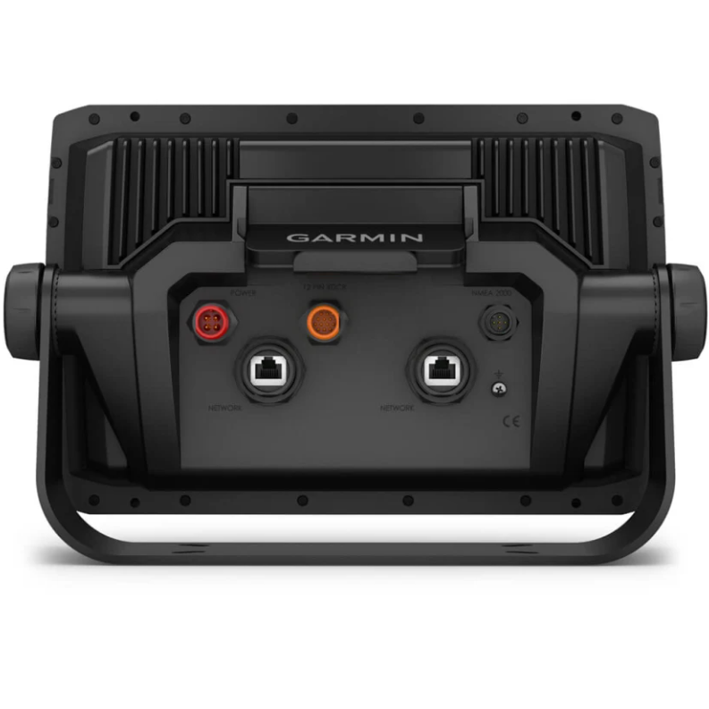
NMEA 2000 ® NETWORK COMPATIBILITY
Connectivity to heading sensors, autopilots, Fusion-Link ™ audio systems and more.
ActiveCaptain® App
Pair the free smart device app for software updates, screen recording, Garmin QuickDraw ™ community data and more 4 .
Force® Trolling Motor
Connect wirelessly to the Force trolling motor to navigate to waypoints, draw and follow routes and more.
TAKE IT WITH YOU
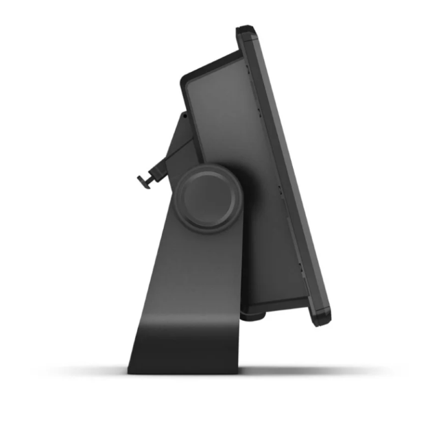
The quick-mount mount allows for quick installation and removal of the drive.