Garmin ECHOMAP Ultra 2 162SV 12" Display
With large, clear, sunlight-readable touchscreens, these versatile chartplotters put a wealth of fish-finding features at your fingertips. They support Garmin Navionics+ and Garmin Navionics Vision+ cartography, and the transducer package adds ultra-high-definition scanning sonar in addition to traditional CHIRP sonar.

10″ OR 12″ TOUCHSCREEN SCREENS

SUPPORTS LIVESCOPE
1 FISHFINDER AND MORE

SUPPORTS GARMIN NAVIONICS+ AND GARMIN NAVIONICS VISION+ MAPPING

WIRELESSLY SHARE FISHFINDER, WAYPOINTS AND ROUTES

CAPTURE SCREEN RECORDINGS TO SHARE YOUR CATCH

MULTIBAND GPS FOR BETTER POSITION ACCURACY
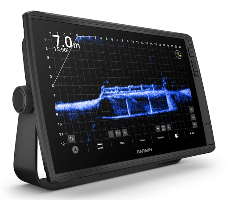
LIVESCOPE
The ECHOMAP Ultra 2 series supports the full line of LiveScope real-time scanning sonar products (transducers sold separately).
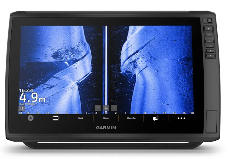
INTEGRATED UHD FISHFINDER
Some models come with a GT56 transducer that provides traditional Garmin CHIRP sonar and UHD ClearVü and SideVü scanning sonars to more easily see what’s beneath the surface.
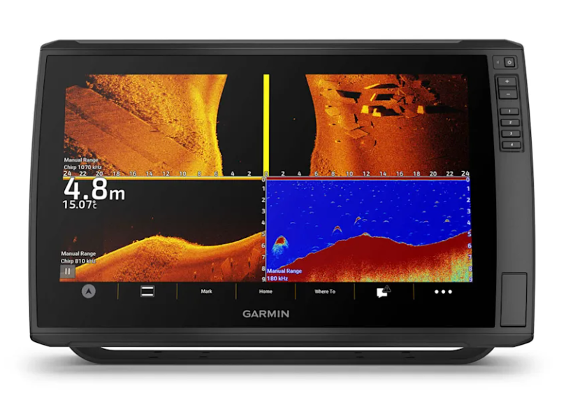
CLEAR AND VIBRANT COLORS
Choose from a variety of color schemes to more easily see what's beneath your boat and distinguish bottom types, structure and fish on your ECHOMAP UHD2.
Cartography
Give your chartplotter a new look with optional Garmin Navionics+ or premium Garmin Navionics Vision+ cartography with built-in coastal and inland content, access to daily updates, Auto Guidance+ technology and much more.
WIRELESS SHARING
If you have another ECHOMAP Ultra 2 chartplotter or a compatible ECHOMAP UHD2 chartplotter on your boat, you can use it to wirelessly share information such as sonar, waypoints and routes.
ALWAYS CONNECTED
Multi-band GPS
Get an even more precise location with multi-band GPS

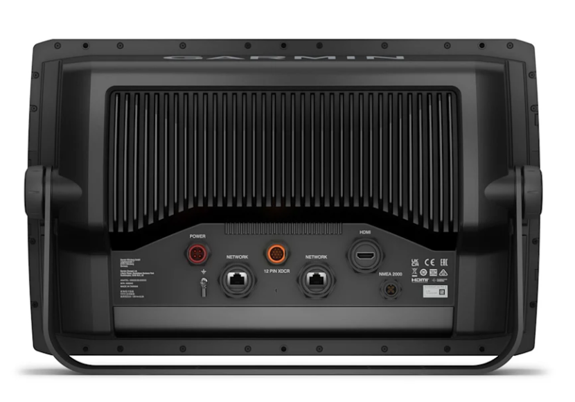
NMEA 2000 NETWORK COMPATIBILITY
Connectivity to heading sensors, autopilots, Fusion-Link audio systems and more.

ActiveCaptain App
Pair the free smart device app for software updates, screen recording, Garmin QuickDraw community data and more.

Force Trolling Motor
Connect wirelessly to the Force trolling motor to navigate to waypoints, draw and follow routes, and more.

TAKE IT WITH YOU
The quick-mount mount allows for quick installation and removal of the drive.