Garmin Montana 710 Portable Outdoor GPS
STAY ON TRACK IN EVERY KIND OF ADVENTURE
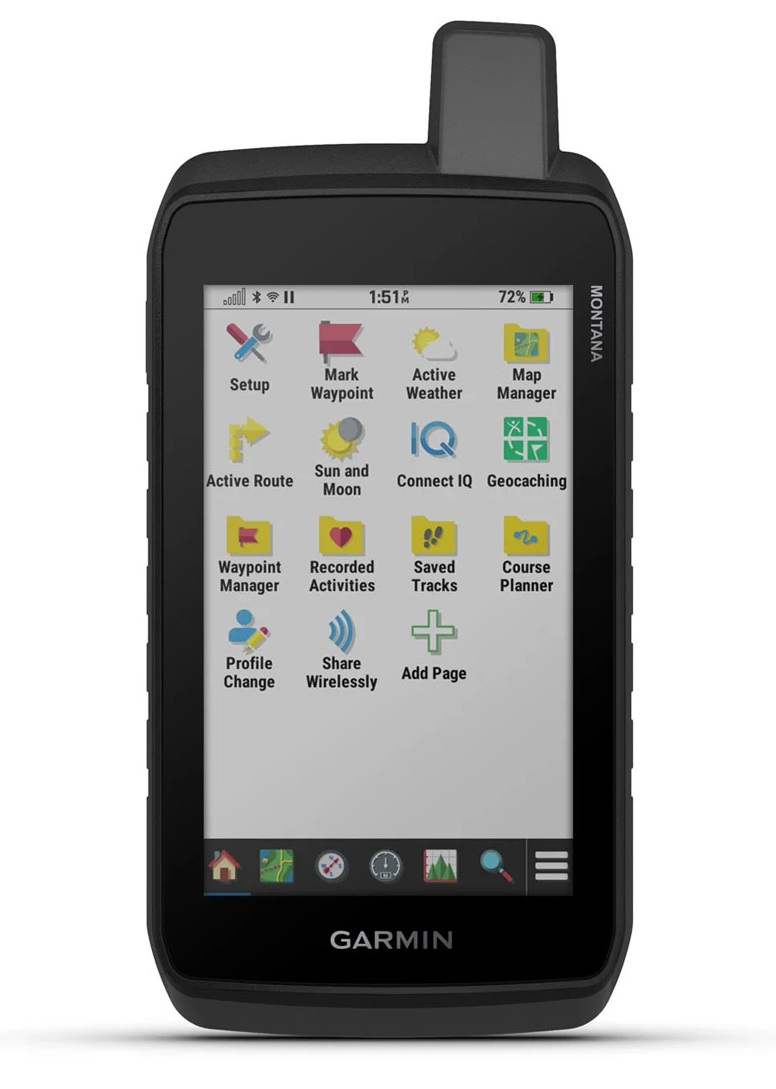
With routable road and trail maps, the Montana 710 handheld delivers advanced outdoor features in a durable 5-inch device, ideal for hiking, biking, kayaking, ATVing and more.

LARGE 5″ GLOVE-FRIENDLY TOUCHSCREEN

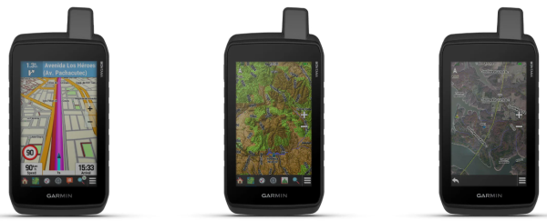
PRELOADED WALKABLE TOPOGRAPHIC MAPS WITH LANDMARKS

MIL-STD 810 COMPLIANT, GUARANTEED RESISTANCE TO EXTREME TEMPERATURES, SHOCK, WATER AND VIBRATION

SATELLITE IMAGERY SHOWS CLEAR PANORAMIC VIEWS OF THE ROUTE FROM ABOVE

SUPPORTS OUTDOOR+ MAPS FOR PREMIUM MAPPING (SOLD SEPARATELY)

PLAN AND TRIPS REVIEW WITH THE GARMIN EXPLORE™ SMARTPHONE APP
DESIGNED FOR EVERY ENVIRONMENT
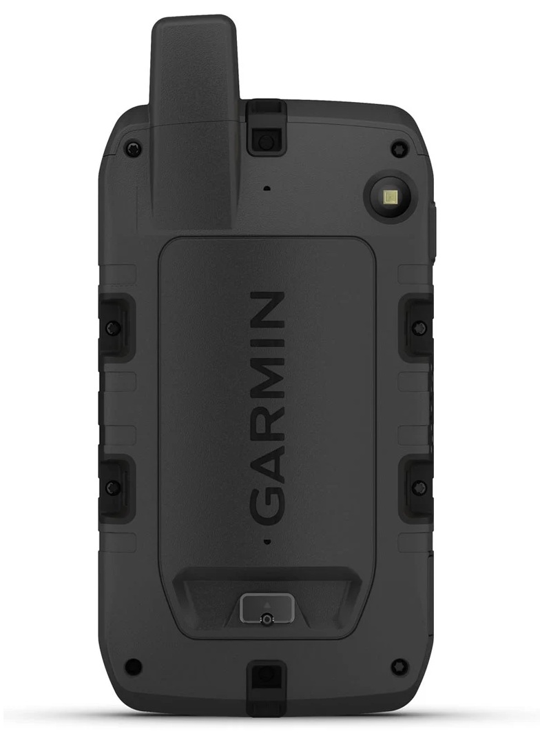
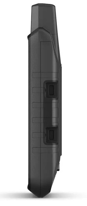
This rugged, waterproof handheld device is MIL-STD 810 compliant, ensuring it's resistant to extreme temperatures, shock, water, and vibration. It also features a glove-friendly 5-inch touchscreen and is compatible with a variety of rugged mounting solutions (sold separately) to best suit your activities.
TOPOACTIVE MAPS
To navigate your adventures, use preloaded topographic maps. View terrain contours, elevations, coastlines, rivers, landmarks, and more.
BIRDSEYE IMAGES
Access high-resolution satellite imagery, subscription-free, with direct download via Wi-Fi® connectivity. View photorealistic aerial images of your routes and surrounding terrain and easily create waypoints based on landmarks.
ADDITIONAL MAPS
With 32GB of built-in memory, you can download even more maps, like City Navigator® maps as you drive or BlueChart® g3 waterway maps (sold separately).
OUTDOOR MAPS+
Add an Outdoor Maps+ subscription (sold separately) and you'll get ongoing access to a wide variety of premium maps and regular updates, delivered right to your Garmin device over Wi-Fi.
GARMIN EXPLORE™ APP
Pair your device with the Garmin Explore app to plan and review trip data, as well as manage waypoints, routes and activities.
NAVIGATION FUNCTIONS

MULTI-GNSS SUPPORT
Access to GPS and Galileo satellite networks allows Montana 710 to acquire its position in more remote areas than using GPS alone.

ABC SENSORS
Navigate your next trail with ABC sensors, including an altimeter for elevation data, a barometer and a 3-axis electronic compass.

ACTIVE WEATHER
Access up-to-date active weather forecasts through the Garmin Connect™ app on your compatible smartphone

DOG TRACKING
For hunters and trainers, Montana pairs with compatible Astro® or Alpha® devices (sold separately) to track dogs while hunting.

WIKILOC ROUTES
This Wikiloc app lets you easily download hiking and cycling routes shared by other outdoor enthusiasts like you. Get a free 60-day trial of Wikiloc Premium to use this and other exclusive features. Learn more.
EXPLORATION FUNCTIONS

EXPEDITION MODE
Explore far and wide, even in remote locations. Use Expedition Mode, an ultra-low-power GPS reference, to keep your Montana charged for more than 2 weeks.

BATTERY OPTIONS
The internal lithium-ion battery offers up to 24 hours of battery life in GPS mode and charges with a standard USB-C® cable.

COMPATIBLE SUPPORTS
A wide range of mounts compatible with the Montana handheld device (sold separately) allow you to adapt the navigator for use on ATVs, boats, cars, motorcycles, RVs or other vehicles.