Platinum + marine charts include all marine content from navionics +, with the addition of additional viewing options such as Relief Shading, Satellite Overlay with SonarChart ™ Shading, 3D View and Panoramic Photos. Maps and updates
- Nautical Chart - complete charts derived from numerous official, governmental and private sources, easily accessible thanks to their intuitiveness
- SonarChart ™ - innovative bathymetric maps, with resolution up to 50 cm, created using Navionics proprietary systems
- Community Edits - valuable local information submitted by users of the Navionics Boating app
Advanced Features
- Dock-to-dock Autorouting - start your journey with a suggested route
- SonarChart ™ Live - create your own maps
- Advanced Map Options - customize the view
- Plotter Sync - plan on mobile, go with the plotter
Overlaps
- Relief Shading, for an easy to interpret and clearer image of the bottom structure. We use the best data made available from our sources. In some cases, high and low resolution data are combined to produce a more complete image.
- Satellite overlay with SonarChart Shading: for greater awareness of your surroundings in and out of the water.
Additional Platinum Viewing Options
- 3D visualization - to highlight important features
- Panoramic Photos - to get a more complete picture of the surrounding area
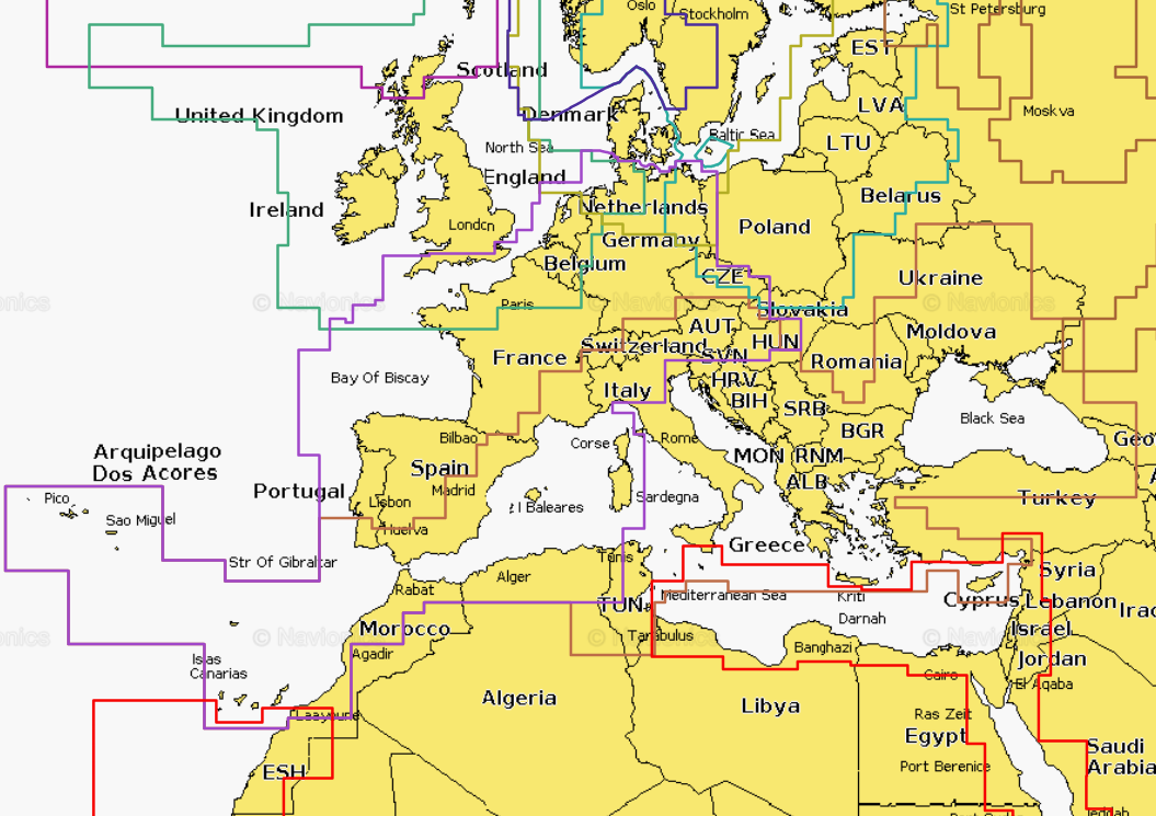
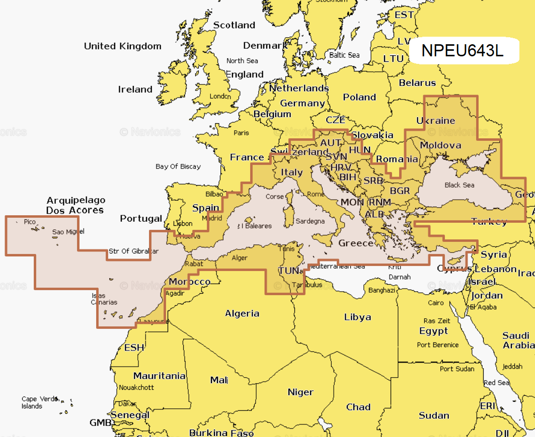
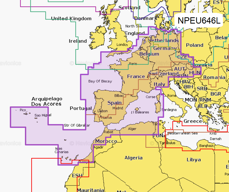
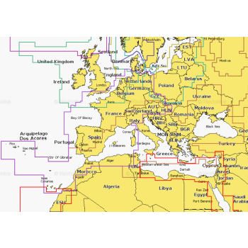
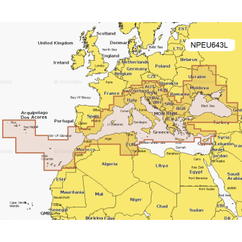
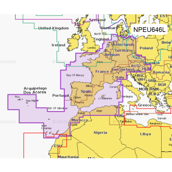
Areas of coverage
Choose between coverage areas via the drop-down menu.
Compatibility
Check the compatibility of Navionics Platinum + contents and functions with your GPS plotter, in the Documents section, you will find the compatibility file.