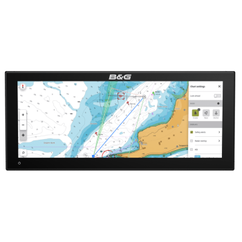


B&G Zeus S 3015 Ultrawide
Intuitive and easy to use chartplotter
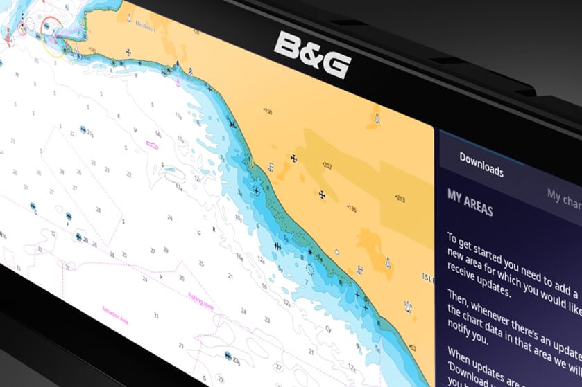
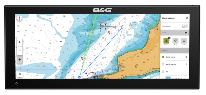
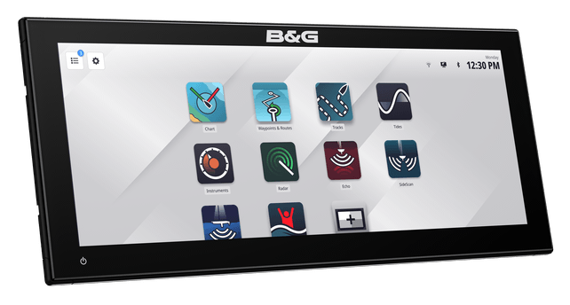
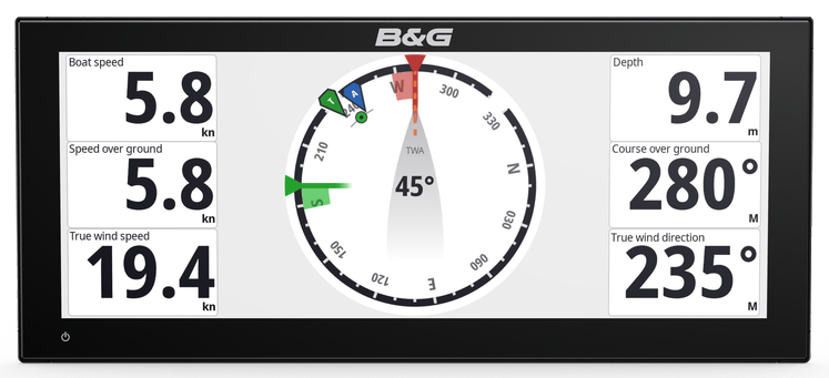
Zeus It's our most intuitive chartplotter for sailing. It features new and exclusive Sailing modes with dashboards and data presets for specific situations, as well as numerous advanced navigation features for a simpler navigation experience. All this is supported by clear and precise C-MAP cartography options, for simpler and safer navigation.