Garmin GPSMAP 67i
EXPLORE AND STAY IN TOUCH WITH HOME
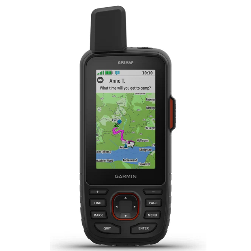
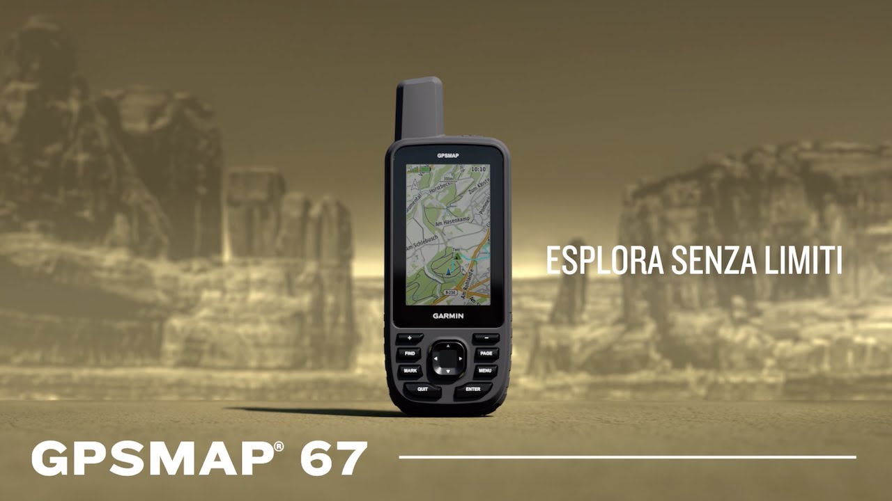
Maximize your adventure time with this innovative portable GPS receiver featuring satellite communication technology. Choose inReach® technology and use two-way messaging, interactive SOS alerts, and location sharing1, plus maps to guide you along the way.

Clearly monitor your route on the 3" color, anti-glare display for easy viewing.

Explore non-stop with long-lasting battery life of up to 180 hours in tracking mode and up to 840 hours in expedition mode.

Track your location even in challenging environments with multi-band technology and GNSS satellite support.

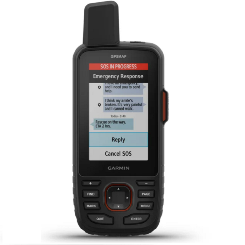
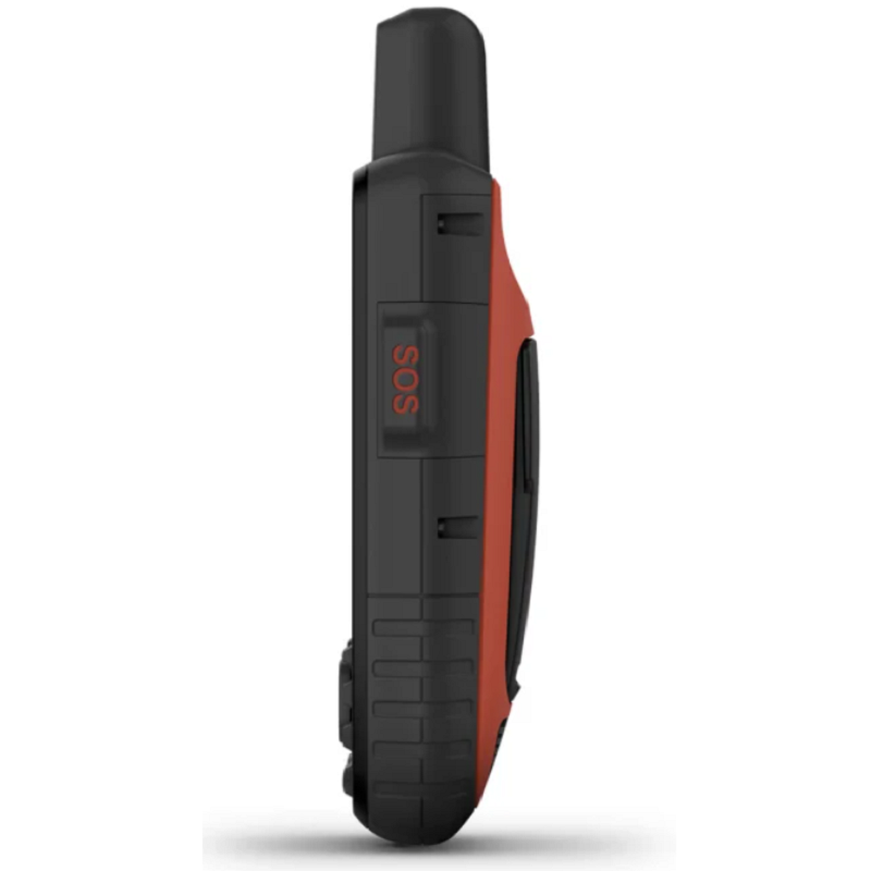
Have an emergency? Activate an interactive SOS alert anytime, anywhere.

Discover what type of terrain you'll be traveling on with the incredible detail of satellite imagery downloadable directly to your navigator.

Get continuous updates on available weather forecasts when paired with your compatible smartphone.

MULTI-BAND GNSS SUPPORT
Access multiple global navigation satellite systems (GPS, GLONASS, Galileo, and QZSS). You can access more frequencies sent by satellite systems for more accurate positioning in areas where GNSS signals are reflected, weak, or generally impenetrable.
ABC SENSORS
Navigate every trail with ABC sensors, which include an altimeter for elevation data, a barometer to monitor air pressure, and a 3-axis electronic compass.
SATELLITE IMAGERY
Download high-resolution, photorealistic maps directly to your device using Wi-Fi® technology. Easily find routes, select locations, find parking, create waypoints, and much more.
PRELOADED TOPOACTIVE EUROPE MAPS
Maps Preloaded TopoActive maps for Europe show mountain peaks, parks, coastlines, rivers, lakes and geographic points.
PREMIUM MAP FEATURES
With an Outdoor Maps+ subscription, you can get public land information, owner names, state maps, game management unit boundaries, BLM boundaries, and more1.
DESIGNED FOR ADVENTURE
This portable device meets MIL-STD-810 military standards, guaranteeing resistance to extreme temperatures, shock and water and is also compatible with night vision goggles.
LED FLASHLIGHT
The GPSMAP 67 series helps you save weight on your gear with a built-in LED flashlight that can be used for distress signals.
TWO-WAY MESSAGING
Text friends/family, post on social media, or communicate from one inReach device to another.
INTERACTIVE SOS ALERTS
In case of emergency, trigger an interactive SOS message to Garmin ResponseSM, the 24/7 global emergency response coordination center.
LOCATION SHARING
Track your location and share it with friends and family. This way, they can see your movements or locate your device to find your GPS location and more.
IRIDIUM® SATELLITE NETWORK WITH 100% COVERAGE
Instead of relying solely on smartphone coverage, your messages, SOS requests and tracking are now transmitted via the Iridium global satellite network
GEOCACHING
Download automatic cache updates from Geocaching Live, including descriptions, logs, and hints. When connected via Wi-Fi or the Garmin Explore™ smartphone app, each find will upload to your Geocaching.com profile.
ACTIVE WEATHER
Once connected to the Garmin Explore smartphone app, you can access real-time forecast information, so you're always up-to-date on weather trends.
GARMIN EXPLORE™ APP
Plan, review, and sync waypoints, routes, and tracks using the Garmin Explore app and website. You can even review completed activities while you're still on the go.
BATTERY LIFE
The internal rechargeable lithium-ion battery provides up to 180 hours of battery life in GPS mode and up to 840 hours in expedition mode.
Packaging: GPSMAP 67i
USB-C cable
Carabiner for belt
Documentation