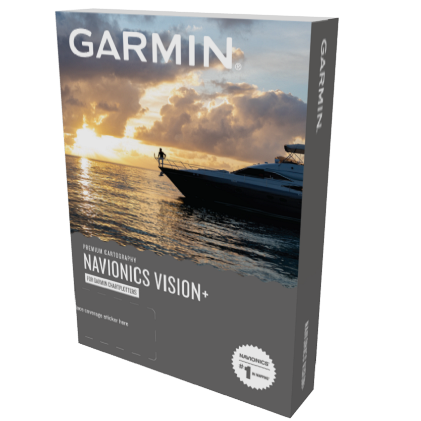
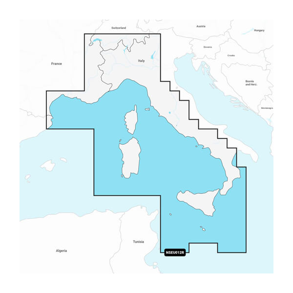
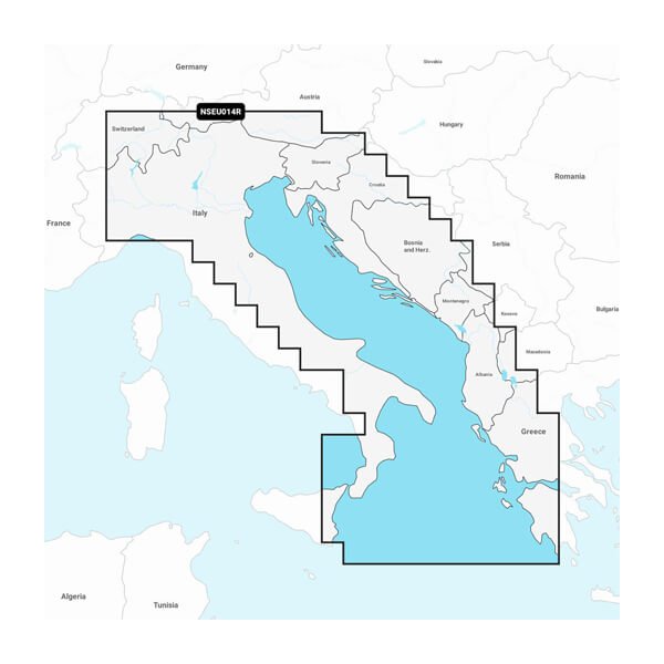
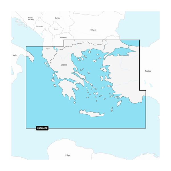
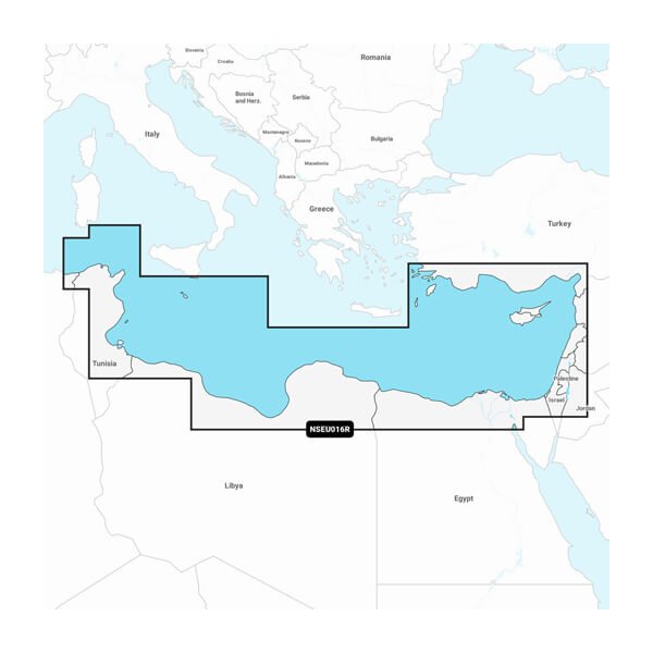
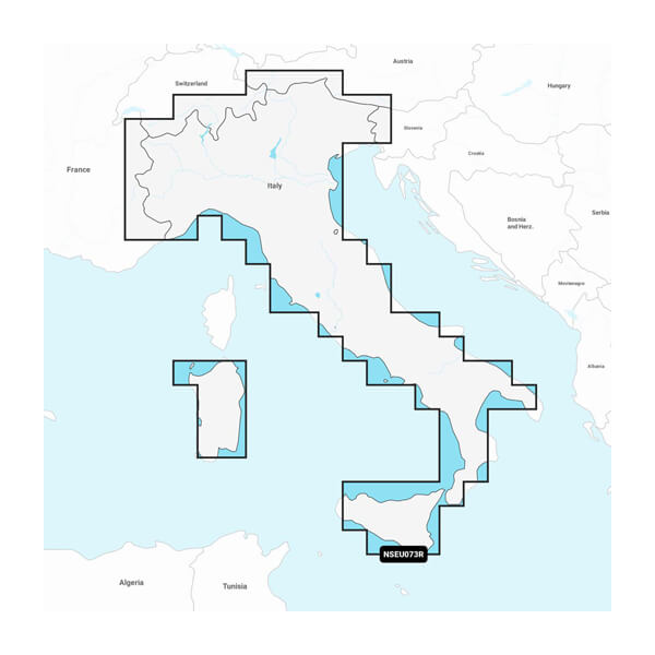
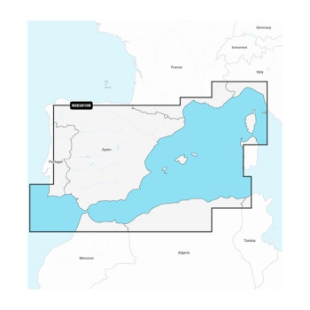
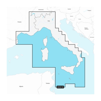
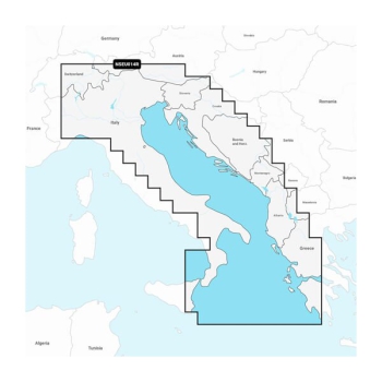
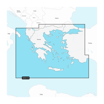
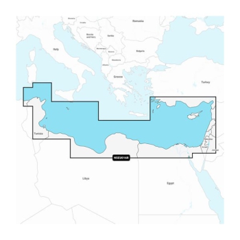
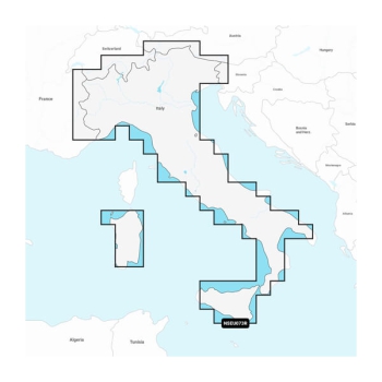
Garmin Navionics+ Vision Cartography Regular
You've never seen Garmin cartography like this before. With built-in coastal and inland content, Garmin Navionics+ and Garmin Navionics Vision+™ premium mapping solutions offer vibrant Navionics®-style color, access to daily map updates, advanced Auto Guidance+™ technology1 and much more.
With Vision maps you will also have the Aerial Photos, FishEye 3D and MarinerEye 3D functions. YOUR CHARTPLOTTER HAS A COMPLETELY NEW LOOK
With vibrant colors, a simplified interface and coastal and inland content in a Navionics®-style color palette, Garmin Navionics+ cartography lets you easily plot your course using the world's #1 marine cartography 1 .
Navigate with our best inland and offshore waters coverage for your Garmin chartplotter. Browse at your leisure.
Customize your view with various map layers and overlay combinations.
With your included one-year subscription, you can access daily updates through the ActiveCaptain® mobile app.
Auto Guidance+™ 2 technology helps you navigate with suggested routes from dock to dock.
Select up to 10 color-shaded contours to pinpoint the best fishing spots.
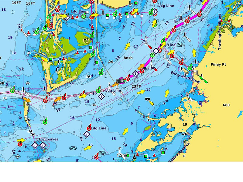
ALL-IN-ONE CARTOGRAPHY FOR GARMIN CHARTPLOTTERS
Access detailed cartography of coastal features, lakes, rivers, and more. Boaters around the world rely on integrated Garmin and Navionics content.
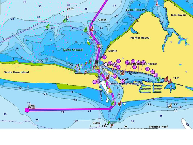
AUTO GUIDANCE+ TECHNOLOGY
Combining the best auto-guidance features from Garmin and Navionics, built-in Auto Guidance+ 2 technology provides dock-to-dock guidance suggestions for navigating channels, inlets, marina entrances and more.
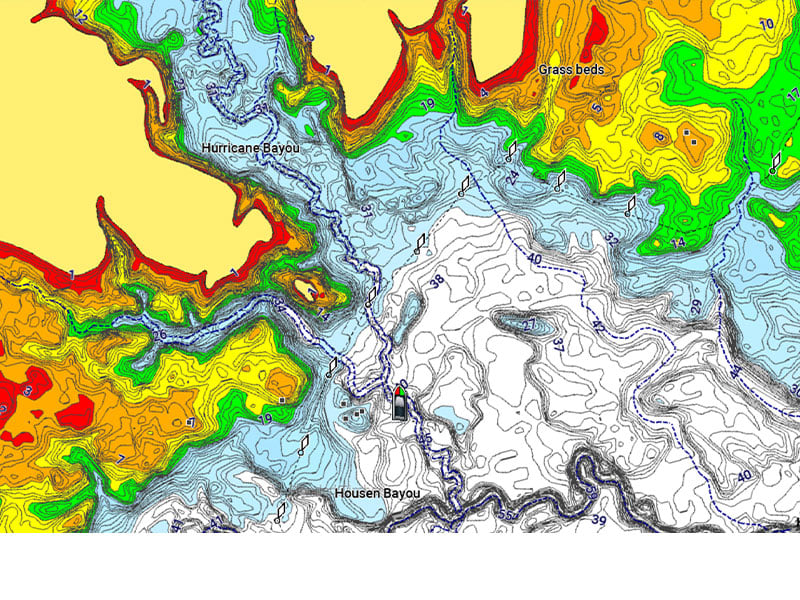
SHADING OF THE SEA BACKGROUNDS
High-resolution bathymetric shading allows you to select up to 10 color shading options and view designated target depths at a glance.
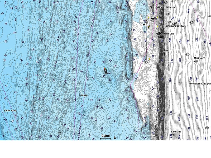
ISOBATES UP TO 0.5 M
To improve fishing and navigation, contours up to 0.5 m provide a clear representation of bottom structure to enhance fishing maps and provide greater detail of marshes, canals, marinas, marinas and much more.
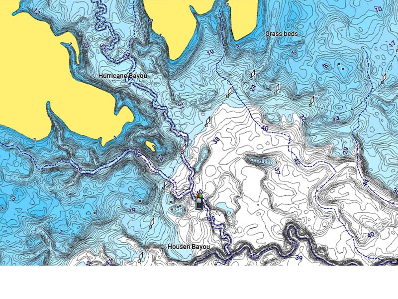
FISHING SPECIFIC FUNCTIONS
The Fishing Map, extremely useful for fishermen, provides high-definition bathymetry that offers a much more accurate reconstruction of the seabed.
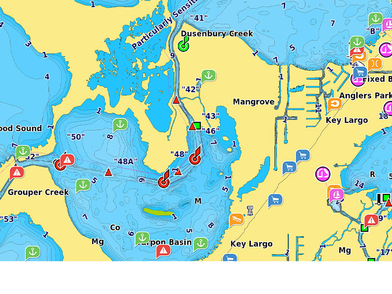
COMMUNITY ACTIVECAPTAIN
Community-generated content offers helpful points of interest such as marinas, anchorages, hazards, businesses, and much more. Get advice from boaters with firsthand experience in the local environment.