-15%

B&G Zeus S 7 Display Chartplotter GLOBAL

  • Code: 000-15217-001
  • Brand : B&G
Faq
Any questions about this product?
You'll find the answers you're looking for HERE
€ 1.085,00 € 1.279,78 -15%
B&G Zeus S 7 Display Chartplotter GLOBAL

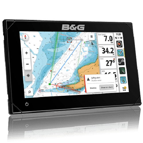
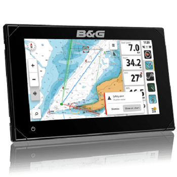
Zeus® S is the most intuitive and easy-to-use sailing chartplotter. Featuring exclusive navigation modes that provide all the data you need for your situation, detailed cartography, and new, improved, and award-winning B&G navigation features .  

Navigation mode
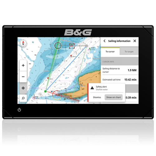
Enhance your navigation with easy-to-understand guidance from B&G’s award-winning cruising and racing navigation features, including updates to SailSteer™, Laylines, StartLine, Routes, Racing and more.
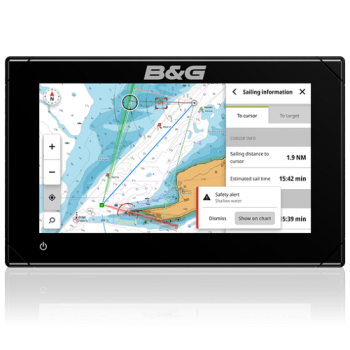
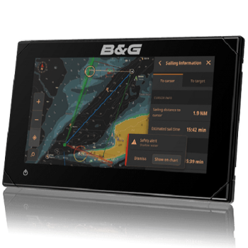
C-MAP powered safety alerts protect against grounding and dangerous objects.


Mapping
C- MAP® DISCOVER™ X and REVEAL™ X charts feature highly accurate data with simple viewing options for clear, easy navigation. Tide and current projections enhance trip planning and route tracking, further supported by our fastest automatic routing ever. Plus, get quick, one-touch access to POIs, tides, channels and more.

Integration
Zeus S is designed to be the heart of your navigation system. With built-in WiFi, Ethernet, and NMEA 2000 , it's easy to connect to autopilots, radar, instruments, and sensors including wind, depth, speed, GPS, and compass. Connecting to the B&G app offers additional control and navigation options, both on and off the boat.

Intuitive
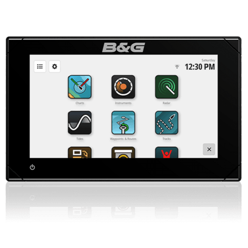
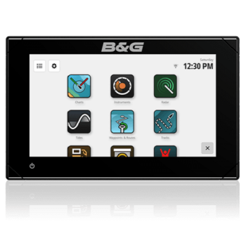
Zeus S makes data easy to read and even easier to digest. The interface is designed to feel familiar, with a new setup wizard to get you started and helpful feature suggestions to guide you along the way. Get hassle-free software updates, on- and off-water trip planning, and the same clear, precise chart views across Zeus® S, apps, and the web.

Cruising and racing modes that provide exactly the data you need for your situation.
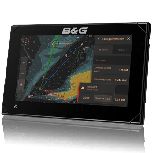
NEW C-MAP-based safety alert feature to help avoid shallow water and dangerous objects on a collision course
Includes B&G's award-winning navigation features, plus exclusive new updates for Laylines, Routes, SailSteer™ and StartLine
C- MAP® DISCOVER™ X and REVEAL™ X charts feature highly accurate data with intuitive viewing options for easy navigation
High-definition SolarMAX™ IPS touch screen, viewable from all angles and in all conditions, even with polarized sunglasses
Fully integrated with HALO® radar , Triton2 pilots, Triton2 and Nemesis® instruments, sensors and more.
Setup wizard to get you up and running quickly
B& App Integration : Access data and charts both on and off the water
Wireless connectivity, plus full Ethernet and NMEA 2000® networking capabilities
IP Camera Support


Characteristics

Connectivity
NMEA 0183 NO
NMEA 2000 1 Micro-C NMEA 2000 port, 1 LEN
PC Connectivity NO
video IP camera support
Wifi IEEE802.11b/g/n
Screen
Backlight color White
Resolution 1024×600
Screen brightness 1200 nits
Size and type 7" SolarMax IPS touchscreen display for wide viewing angles, extreme clarity, and sunlight visibility with polarized sunglasses
Viewing angles 85° (up, down, left, and right)
Electric
Power consumption, max. 11.5 W
Recommended fuse rating 2A
Supply voltage 12V DC (10 - 17V DC)
Humidity IEC 60945 Damp heat 66°C (150°F) at 95% relative (18 hours)
Environment
Operating temperature range -15°C to 55°C (5°F to 131°F)
Shocks and vibrations 100,000 cycles of 20G
Storage temperature range -20°C to 60°C (-4°F to 140°F)
Waterproof rating IPx6 and IPx7
GPS
Correction High-speed update 10 Hz (internal) WASS, MSAS, EGNOS, GLONASS
GPS receiver channels 32 channels
Location accuracy Horizontal accuracy 3 m (9.8 ft)
Update rate 10Hz
MFD
AIS Receive AIS data over NMEA 2000
Supported mapping C-MAP Discover™
External storage 1 MicroSD slot
GPS Internal, 10 Hz, WASS, MSAS, EGNOS
Radar (including compatibility) Halo Dome radar, open array Halo radar
Sonar (including compatibility) One 9-pin Xsonic 1kW sonar port. Single-channel CHIRP, 50/200kHz, HDI, Active Imaging.
Waypoints, routes, tracks 6000 waypoints, 500 routes with a maximum of 100 waypoints, 50 tracks with a maximum of 12,000 trackpoints.
Compass Safety Distance: Metric, Imperial 50 cm (1.7 ft)
Physics
Dimensions (W x H x D) 195 x 123 x 72 mm (7.7 x 4.8 x 2.8")
Mounting type Bracket (included), panel or flush mounting
Weight 0.8 kg (1.7 lb)
D Salve buonasera Vorremo capire quali carte sono comprese con il chartplotter. Nel testo della descrizione sono citate le carte C-MAP ® DISCOVER™ X e REVEAL™ X - vorremo avere la conferma che almeno una sia compresa. Grazie Saluti
R 19-02-25 Buonasera, nella confezione non so o previste mappe, sono da acquistare a parte, confermo la compatibilità solo con Discover X e Reveal X. Cordiali saluti. Luigi Bianchi
Products that may be of interest to you
Our strength: complete and reliable solutions.
Design
Design

Clear diagrams for easy installation.

Consulting
Consulting

Equipment suited to your needs.

Realization
Realization

High quality systems.

Do you need help?
Do you need help?

Guaranteed after-sales support.

Don't lose your way!
Subscribe to our free newsletter.
REGISTER
REGISTER