SHADED RELIEF
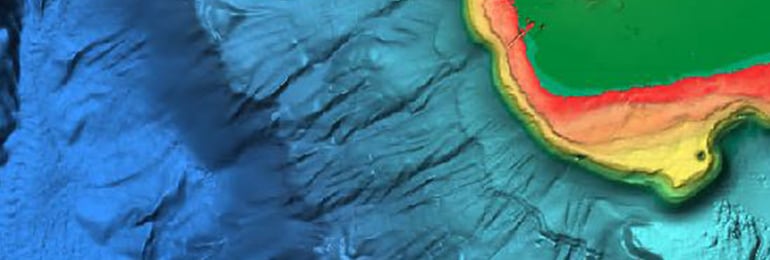
Bring the world around you to life with 3D underwater terrain and relief, and ultra-high-resolution bathymetry imagery previously available only in MAX-N+ Reveal. A game-changer for anglers and divers.
COMPLETE VECTOR CARDS
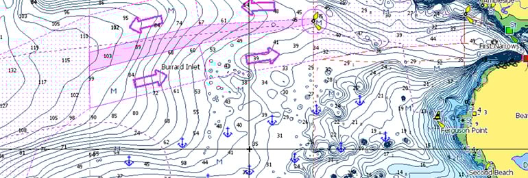
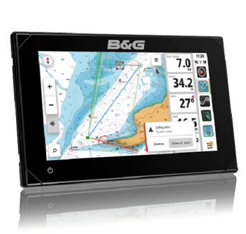
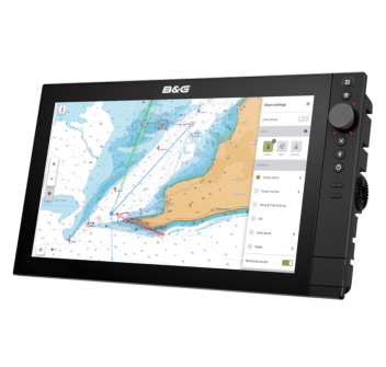
Comprehensive vector charts simplify navigation because they offer accurate, up-to-date details based on information from official hydrographic offices.
HIGH RESOLUTION BATHYMETRIC LAYER
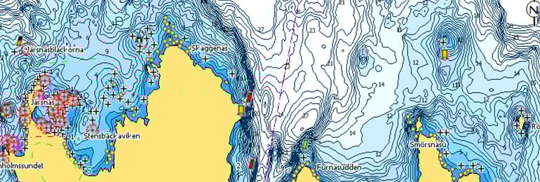
High-resolution bathymetry lets you identify shallows, drop-offs, ledges, holes, or ridges with precise 1-foot contours. It brings together the best C-MAP HRB data, including C-MAP Team Lake Surveys (USA only) and verified and integrated Genesis® social maps.
CUSTOM DEPTH SHADING
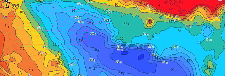
Custom Depth Shading lets you set a safe depth, map-like view, or custom shadow, so you can see the world your way.
SATELLITE OVERLAP
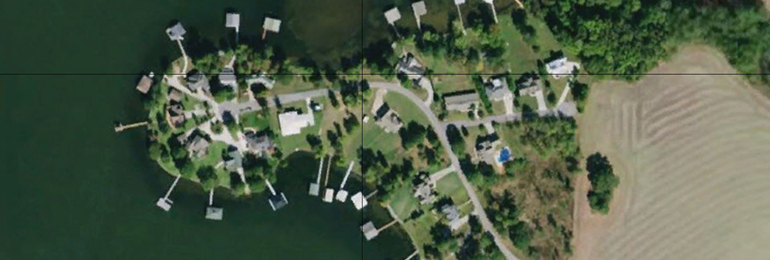
Satellite imagery provides you with information about your surroundings when you are in an unfamiliar location.
AERIAL PHOTOGRAPHS
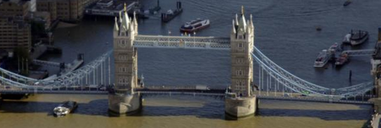
A collection of thousands of photos of ports, marinas, inlets and other key navigational features included to provide an extra level of detail.
DYNAMIC RASTER CARDS
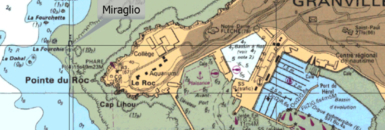
Identical to traditional cards in appearance, they allow easy access to all the objects on the card.
EASY ROUTING
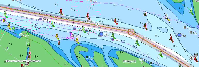
Easy Routing helps you automatically plot the shortest and safest route, based on detailed chart data and your vessel's custom information. With C-MAP, Easy Routing is always free.
TIDES AND CURRENTS*
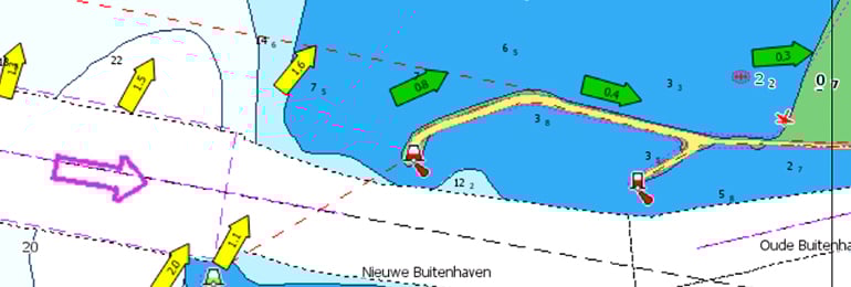
Tides and Currents show projected water levels and tidal directions to help you plan your day of boating, fishing, or sailing. *Available only with Coastal charts.
DETAILED PLANS FOR PORTS AND TOURIST MARINAS
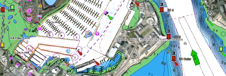
Docking in an unfamiliar port is no problem if you know the detailed layout of thousands of marinas, including slip spaces, restricted areas, and other important navigational information.