Garmin G3 Vision Large Mediterranean Cartography
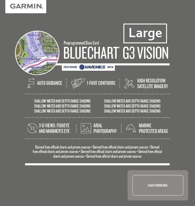
For your navigation, ensure a nautical chart with exceptional detail and comprehensive coverage. The new BlueChart g3 nautical chart offers state-of-the-art coverage, clarity, and detail, integrating data from Garmin and Navionics® nautical charts. The new BlueChart also includes the Auto Guidance1 feature, allowing you to set minimum depth and maximum height, letting the plotter suggest the route to follow.
In addition to this exceptional performance, the new BlueChart g3 Vision also integrates satellite imagery for a truly lifelike view of the land. And the 3D MarinerEye and FishEye views give you additional perspectives, both above and below the water's surface.
Characteristics UPDATED STATE OF THE ART CARTOGRAPHY Wider coverage, clarity of information and extremely high level of detail, guaranteed by the combined use of Garmin and Navionics® cartographic data
NEW AUTO GUIDANCE1 EVERYWHERE Now available on both g3 and g3 Vision, calculates and suggests a route based on user-set depth and maximum height
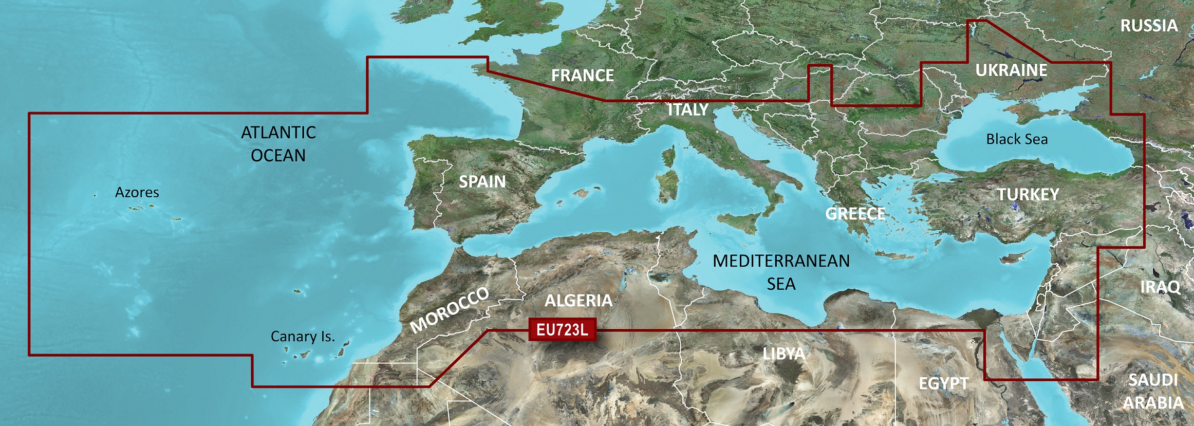
DEPTH SHADING Available for up to 10 depth ranges, allows you to view the desired depth range at a glance BATHYMETRIC UP TO 30 CM Ensures an optimal description of the bottom, to provide the best fishing maps SAFETY SHADING Allows you to set a minimum depth to define the safety shading, to ensure a clear image of the shallow waters to be avoided COVERAGE Worldwide coverage available
SATELLITE IMAGERY Images of ports, marinas, bridges and other conspicuous points, to provide better decision support 3D VIEWS MarinerEye and FishEye allow additional points of view above and below the water surface