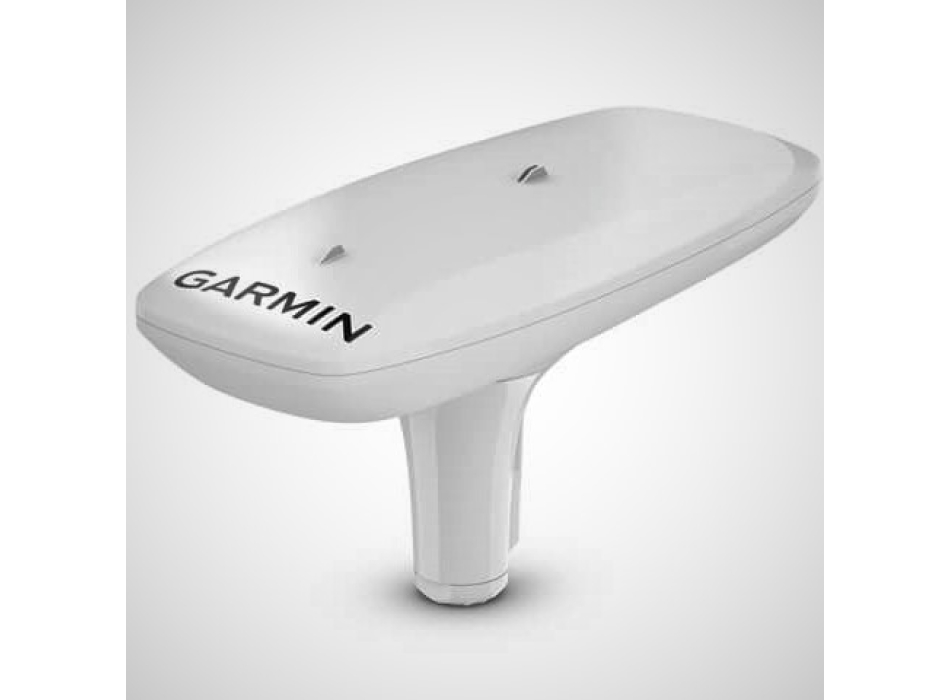
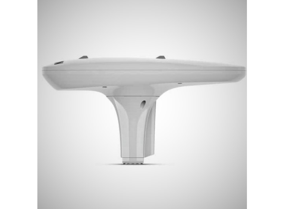
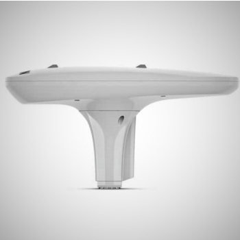
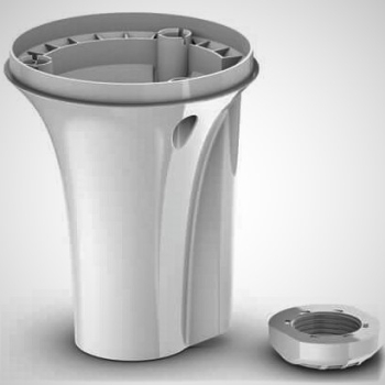
Reliable and accurate route information with the MSC 10 Marine Satellite Compass
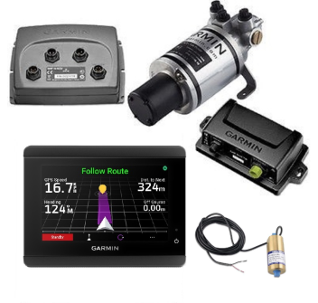
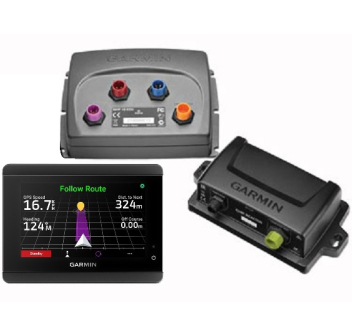
This compass equipped with multi-band (GPS L1 and L5) and multi-satellite GNSS receiver (GPS, Galileo supported when available, GLONASS and BeiDou supported when available) provides location data with precise positioning ( <1 meter CEP, <3 meters 95% ) Receive reliable and accurate information on boat sway, roll and pitch, even in rough water. The built-in AHRS (ATTITUDE HEADING REFERENCE SYSTEM) provides better GPS information on the course at high speeds. Multiple receivers provide heading accuracy within two degrees. Since satellite signals are used, there is no need to worry about magnetic interference. You can use the MSC 10 as the primary sensor for the autopilot and other onboard systems that require precise heading data. Course, roll, pitch and sway data directly to your compatible Garmin chartplotter via the NMEA 2000 network.Better and more detailed tracking data thanks to the 10 Hz position update rate. In the extremely rare case of satellite signal loss, the MSC 10 immediately switches from GPS-based to magnetometer-based heading (magnetometer calibration is required to support the backup magnetic heading) .
In the package
MSC ™ 10 marine satellite compass
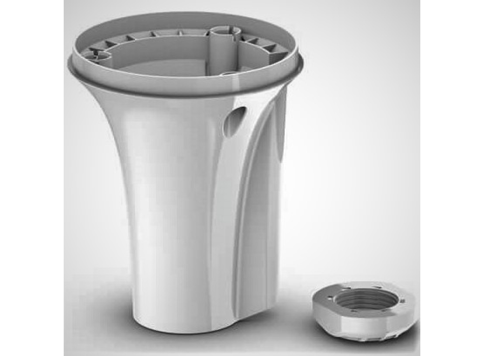
Bracket mounting
Mounting hardware
NMEA 2000 ® backbone / drop cable (6 meters)
NMEA 2000 T connector
Documentation
TECHNICAL SPECIFICATIONS
Dimensions (W x H x D): 155.5 x 333.6 x 76.2 mm (6.1 ″ x 13.1 ″ x 3.0 ″)
Weight: 810 g
Cable length: 6m
Temperature range: -15 ° C to 70 ° C
Housing material: high strength plastic alloy sealed with adhesive, waterproof to IPX7 standards
Compass safe distance: 0 mm (0 ″)
Power input: 9-32 Vdc, unregulated
Input Current: 180mA @ 12VDC
NMEA 2000 Load Equivalency Number (LEN): 6 (300 mA max)