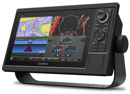
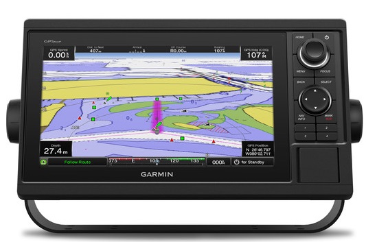
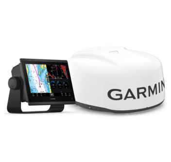
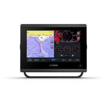
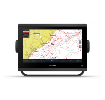
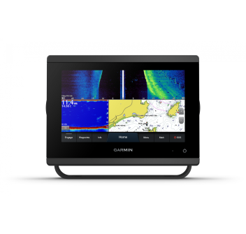
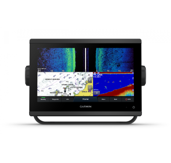
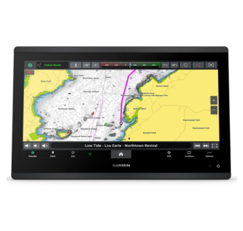
Garmin gpsmap 1022XSV Display 10"
10” high-resolution color display
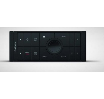
Key interface and multifunction control knob
1kW CHIRP Sonar Module
NMEA 2000® and NMEA 0183 network connectivity
Garmin Marine Network for sharing sonar data, including Panoptix™, maps, user data, radar and IP cameras between multiple units
Supports BlueChart® g2 Vision® HD charts with Auto Guidance 3.0 technology for automatic route calculation
Sailing features: Race timer, Start Guidance, Laylines, Wind-rose, Heading & COG vectors and much more
The new keypad chartplotter is easy to read both day and night thanks to the large, bright 10” display and easy to use thanks to the convenient and intuitive interface featuring a keypad and push-button control knob, as well as 4 programmable keys for quick access to your favorite functions.
It features wireless connectivity to use Garmin apps and interface with VIRB action cameras and a high-sensitivity 10Hz GPS/GLONASS receiver that updates heading and position 10 times per second, allowing you to view the boat's movements smoothly.
Full compatibility with the Garmin Marine Network to share sonar images, maps, user data, radar images, camera recordings and images from the innovative Panoptix with the various connected units.
NMEA 2000 and NMEA 0183 connectivity allows you to interface with multiple systems including on-board autopilot, digital switching, VHF, AIS and many more.
The new GPSMAP 1022 also includes specific features for sailing navigation such as Laylines, Pre-race Guidance, Race Timer, Starting line and provides new data fields dedicated to the world of sailing such as Wind Rose, Heading and COG vectors, Heading, wind speed and tide data.
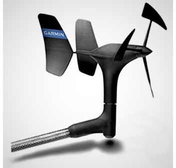
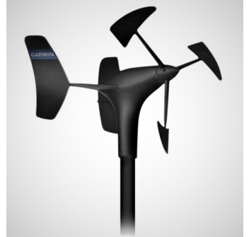
They integrate an ANT+ connection to communicate wirelessly with some Garmin instruments, including the quatix® 3 marine smartwatch, the Garmin Nautix™ wearable instrument, the gWind™ Wireless 2 wind transducer and the GNX™ Wind display.
The xs version features a built-in 1 kW CHIRP sonar module featuring CHIRP ClearVü and CHIRP SideVü, high-frequency sonar technology that provides extremely clear and detailed images of objects, structure and fish below and to the sides of the boat.
Create your own HD maps with the Quickdraw feature. Draw your own contours; the results appear instantly on your chartplotter screen and can also be shared with other users for free.
It supports the latest generation Panoptix transducers, which allow you to scan and display in real time everything that happens in front of or below the vessel, ensuring an exact and extremely realistic perception.